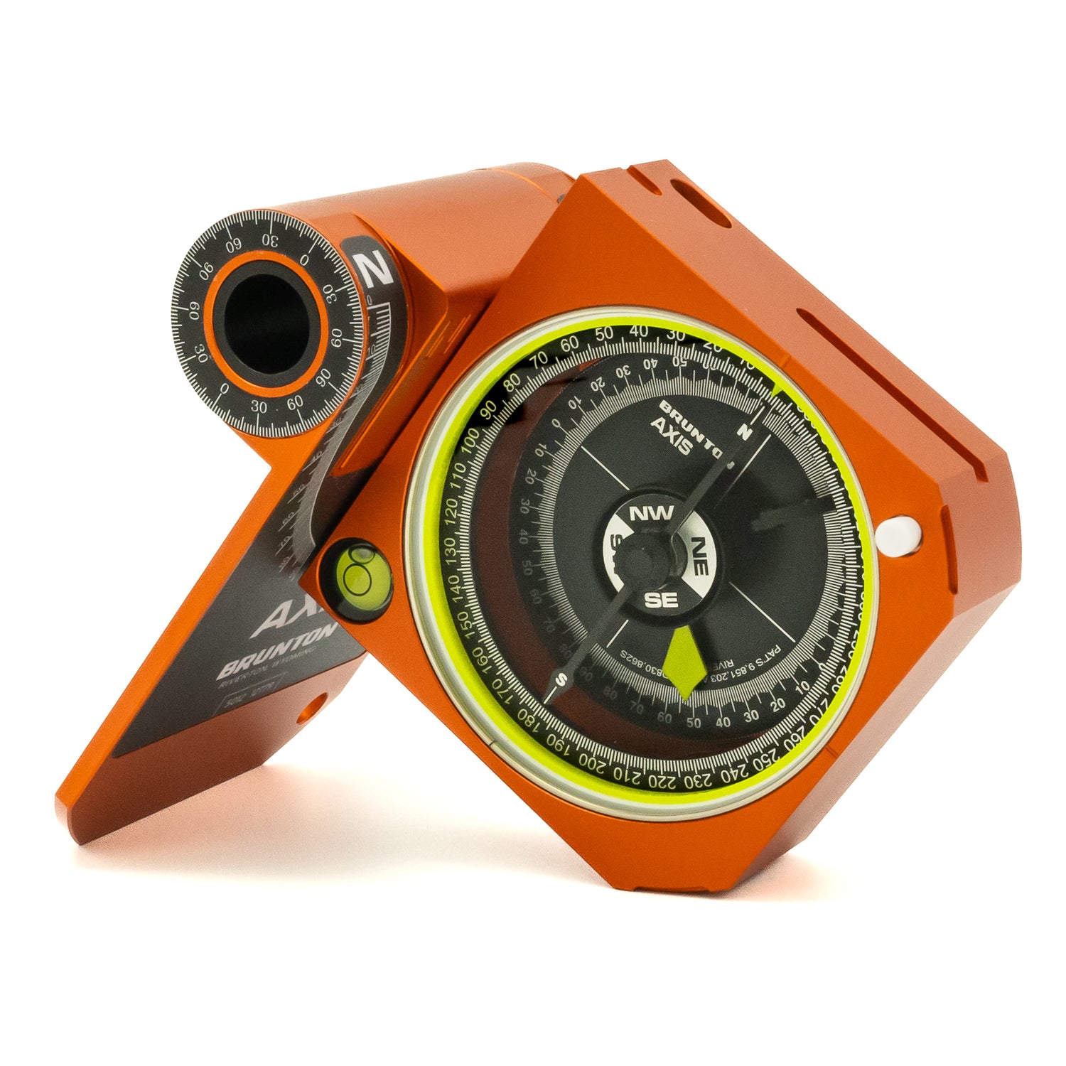
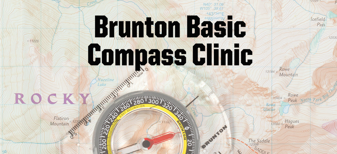
In the fourth installment of the Brunton Basic Compass Clinics, we’ll discuss declination and how to adjust your compass for it.
---
First of all what exactly is declination?
According to the US Geological Survey (USGS), the amount of deviation of a compass needle from true north is an angle called declination, or magnetic declination.
---
So what exactly does that mean?

- On the globe above we have true north, or the geographic north pole.
- We also have the magnetic north pole, this is not static and moves over time (geologically speaking).
- Then we have a location, we will use New York in this scenario.
- Using these three points, we can figure out the declination for New York by drawing a line from it directly to ”True North” (the red line).
- Then we draw a line from New York to “Magnetic North” (the pink line).
- The angle of deviation (or the blue area) between the two arrows is the declination.
---
So how does this look on a compass face?

- True north is represented again by the red arrow.
- Magnetic North, by the pink arrow.
- The blue is the difference between the two, or the declination.
- New York is currently 13 degrees West Declination.
---
Declination Location Examples
As one moves across the country or globe, the declination changes. Below are three different locations, Mount Rainier in Seattle, Gannett Peak in the Wind River Range in Wyoming and Acadia National Park in Maine.
---
Practical Declination
What is your declination and how to set it?
The declination for an area can be found in the key or legend of a map OR you can you online resources (like NOAA) to find a declination of an specific area. Setting your declination will vary from compass to compass.
The goal is to adjust the Orienting Arrow to the declination degree of the area.

In both of these illustrations of compasses, the Bezel (or black ring on the with the degree markings) does not move, only adjusting the Orienting Arrow.
The Compass on the far right is now properly adjusted to the declination of Acadia National Park.
Once you’ve adjusted declination for your area, you can just focus on navigating!
---
Want to know more basic compass information?
Brunton Compass Clinics