
With smartphones and GPS right at our fingertips, getting from one place to another has never been so easy. Also, it can be good to encourage your brain to develop its “mental map” skill. No matter what you use to navigate, here are the basics to getting started with the good old fashion map and compass.
Finding Your Way on a Map
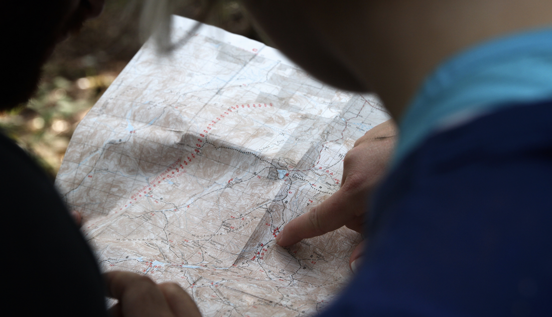
Paper maps are a reliable way to find where you are and where you plan to go. There are all sorts of maps available of various areas that include roads and trails, but the best ones to purchase are topographical maps. A topo map will show you the different features of a given area, and provide more dimension. When it comes to maps, it’s important to understand scale, which is how you’ll measure distance. If you’re hiking somewhere, scale will give you an idea of how much farther you have to walk to get from point A to point B. To check out different types of maps, including topographical, visit the U.S. Geological Survey.

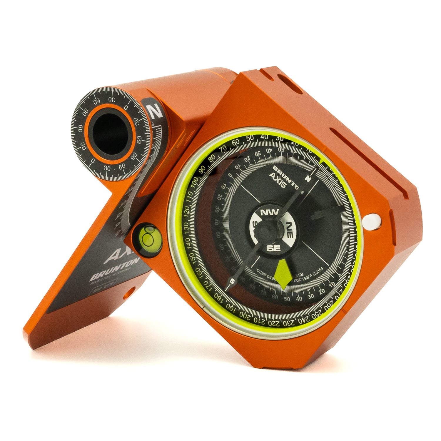
Using a Compass
When maps become most useful is when you have a compass. A majority of compasses are magnetic, which means they have a magnetized needle that aligns with the earth’s magnetic field. First, it’s important to understand the compasse’s parts before use. Then it’s vital to understand why the geographic north pole and the magnetic north pole are not the same. You can use a compass with or without a map, but with will be easier. See some of the different compasses we have to offer for anyone just getting started.
Back to Basics
Swapping your smartphone for a map and a compass can be quite intimidating, which is why we provide a study guide for getting started with both of these tools. Check out the study guide here and also check out our instructor kit, if you’re teaching a class.