
Welcome to the first of a new series of posts focusing on our professional products and their uses in the field – all designed for geology, forestry, guiding, and military/tactical professions. Stay tuned for more posts and hopefully videos about measurement methods, new product developments, and the science behind the use of Brunton products in various field professions.
Where do compass needles point?
As kids, we’re all taught that compass needles point north. But technically, Earth has three “north poles” – and compass needles are subject to a more three-dimensional magnetic field than we might realize.
Earth’s geographic poles are the axis of our planet’s rotation and are where lines of longitude intersect. Earth’s geomagnetic poles are the general N-S locations that fit the classic dipole magnetic model (envision a bar magnet within Earth). Earth’s magnetic poles (also known as dip poles) are where magnetic field lines are perpendicular to the surface – in other words where a compass needle theoretically would point straight down or up (Figure 1).

Figure 1: Earth’s three poles, from BBC “Scientists explain magnetic pole’s wanderings”
Compass needles are mainly aligned to the horizontal component of the magnetic field, following lines that ultimately lead towards the north magnetic (dip) pole. In our Basic Compass Clinic 104, we discussed the concept of magnetic declination, and how to adjust compasses for accurate readings for your particular location.
Compass needles also experience a vertical tug from the magnetic field, which causes them to tilt or dip. The closer you are to a magnetic (dip) pole, the steeper the dip is towards or away from Earth’s surface. The north end of a compass needle points straight down at the magnetic north pole and straight up at the magnetic south pole, and needles are generally horizontal around the magnetic equator. This needle angle relative to Earth’s surface is called magnetic inclination, and for precision measurement tools like our transits, is just as important to adjust for as magnetic declination (Figures 2 and 3).


Figure 2a & Figure 2b: Compass needles align to the three-dimensional magnetic field of Earth. Declination and inclination must be considered and adjusted for, especially in precision tools like pocket transits.

Figure 3: The World Magnetic Model 2020 Inclination field, from NOAA’s Maps of Magnetic Elements.
Components of Earth’s Magnetic Field and their Causes
Earth’s magnetic field is complicated – and it’s always changing, too. About 90% of the geomagnetic forces experienced on Earth’s surface actually come from the liquid outer core. This layer is composed of iron and nickel and is in motion from a combination of heat convection currents and Earth’s rotation. This motion in an iron-rich fluid is what generates Earth’s magnetic field just like a large dynamo (Figure 4).

Figure 4: Earth’s liquid outer core is responsible for creating the majority of magnetic forces. Figure from Learning Geology.
There are seven components of Earth’s main magnetic field that are generated from motion in the liquid outer core: declination (D), inclination (I), horizontal intensity (H), northerly intensity (X), easterly intensity (Y), vertical intensity (Z), and total intensity (F). Compass needles are subject to the vector sum of these forces, both in direction and magnitude (Figure 5).

Figure 5: Seven components of Earth’s magnetic field, from NOAA-NCEI Further Understanding of Geomagnetism.
Additional geomagnetic forces and influences come from our ionosphere (the charged upper atmosphere) and from geologic features in the crust that can enhance or depress the local magnetic field.
Changes Over Time
To add to this complexity, Earth’s magnetic field is constantly changing. The magnetic poles wander (Figure 6), the strength of the magnetic field increases or decreases, and the poles themselves even reverse completely from North to South (Figure 7)! The study of Earth’s past magnetic fields is called paleomagnetism – a field responsible for helping piece together the theory of plate tectonics and for enabling us to understand how past continents and oceans have, themselves, shifted throughout geologic history.

Figure 6: Polar wandering paths for the North (left image) and South (right image) geomagnetic poles. Observed dip poles are yellow squares. Modeled pole locations from 1590 to 2020 are in circles progressing from blue to yellow. From Astonomy 2019 article, after NOAA figures.

Figure 7: Polar reversals during Earth’s past 170 million years, showing age in millions of years (Ma) and geologic epoch, period, and era. Black stripes are periods of normal polarity, with North as we currently know it. White stripes are periods of reversed polarity, when compass needles would have pointed South if they had existed.
We are currently experiencing acceleration in polar wander and a weakening in overall magnetic intensity. Does this mean we are entering the beginning stages of a polar reversal? Possibly, but the evidence isn’t yet conclusive. The transition to a full magnetic reversal would be an interesting time, to be sure, with multiple weak poles and severe disruption to all of our navigation methods and satellite-based systems.
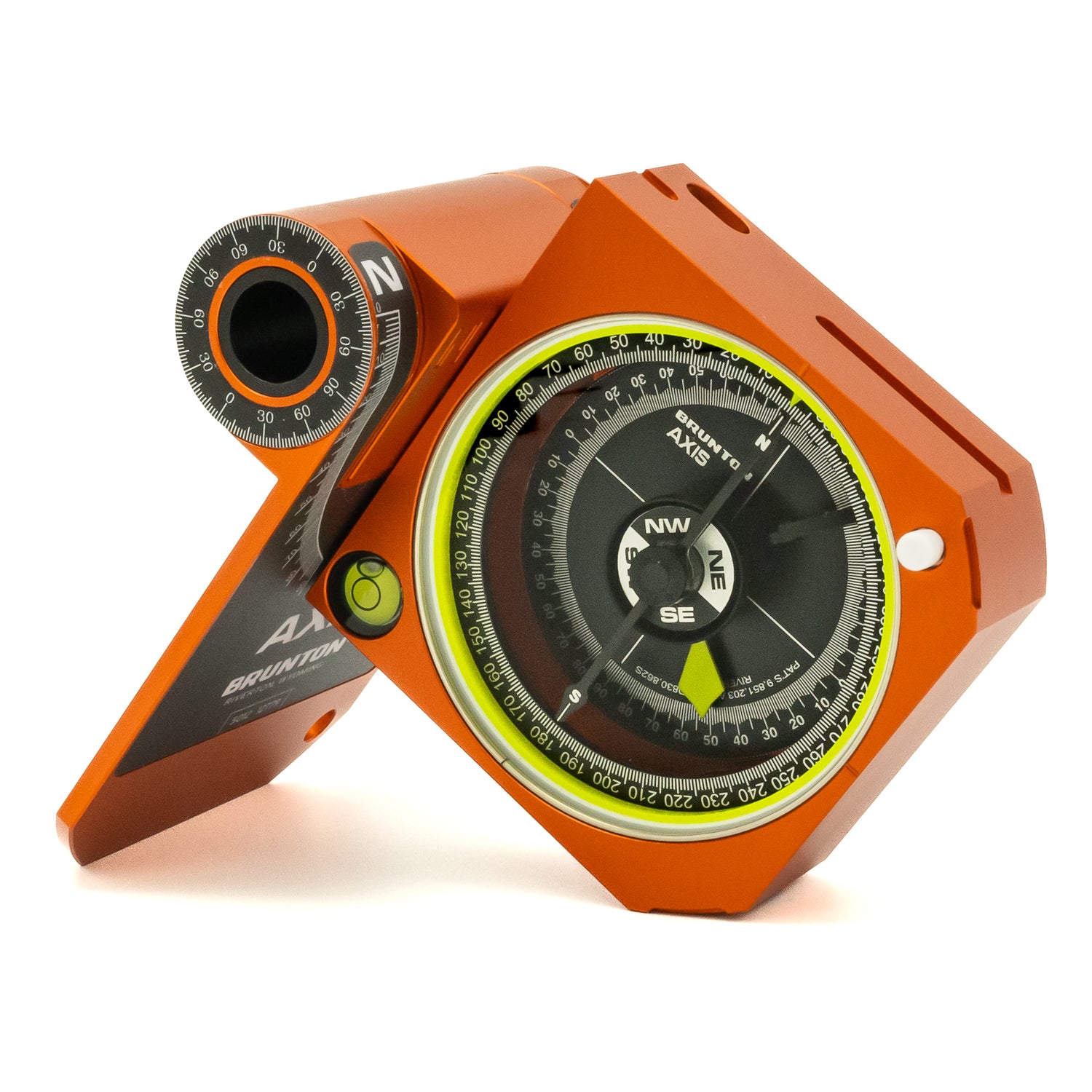
Why We Balance Our Transit Needles
Compass needles can function as long as they don’t hit the edges of their container, which would prevent them from rotating freely. Brunton baseplate compasses have our Global Needle that can function almost anywhere on earth without special adjustments. All Brunton transits now have a special NdFeB disc magnet that is either weighted for the northern or southern hemisphere. Beyond that, our transit needles can be fine tuned for any inclination on earth through a simple bending of the needle either up or down to help ensure the needle ends align as closely as possible with the azimuth ring for accurate readings.
In March 2021, we released an updated transit balancing map and table to help ensure that we are balancing our transit needles to meet the most current magnetic field. We mapped the World Magnetic Model 2020 inclination contour lines on top of countries in a Geographic Information System (GIS), and created new balancing zones A through O based on country intersections of every 10 degrees of inclination (Figure 8).
![]()
Figure 8: 2021 Updated Balancing Zones for Brunton Transits. Note that our transits are made in Wyoming, USA, so adjustments are made up or down from this “zero” zone B.
Helpful Magnetic Field Calculators for Your Location
- NOAA Magnetic Field Calculator, with various tabs for field components
- British Geological Survey World Magnetic Model Calculator