Skip to product information
1 of 1

Navigator Bundle

Navigator Bundle

Regular price $84.95 USD
Regular price Sale price $84.95 USD
Sale Sold out
Shipping calculated at checkout.

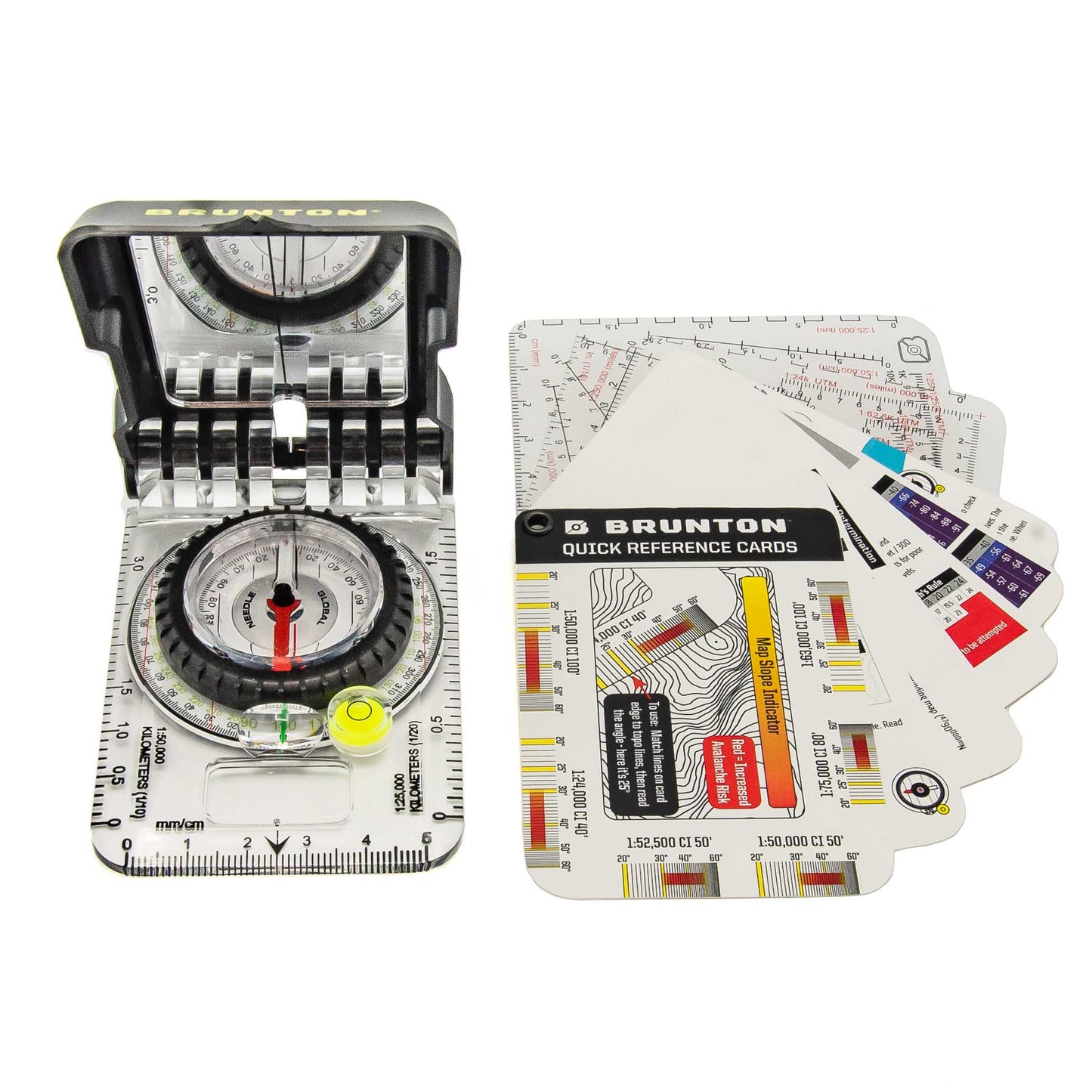
A match made in orienteering heaven!  

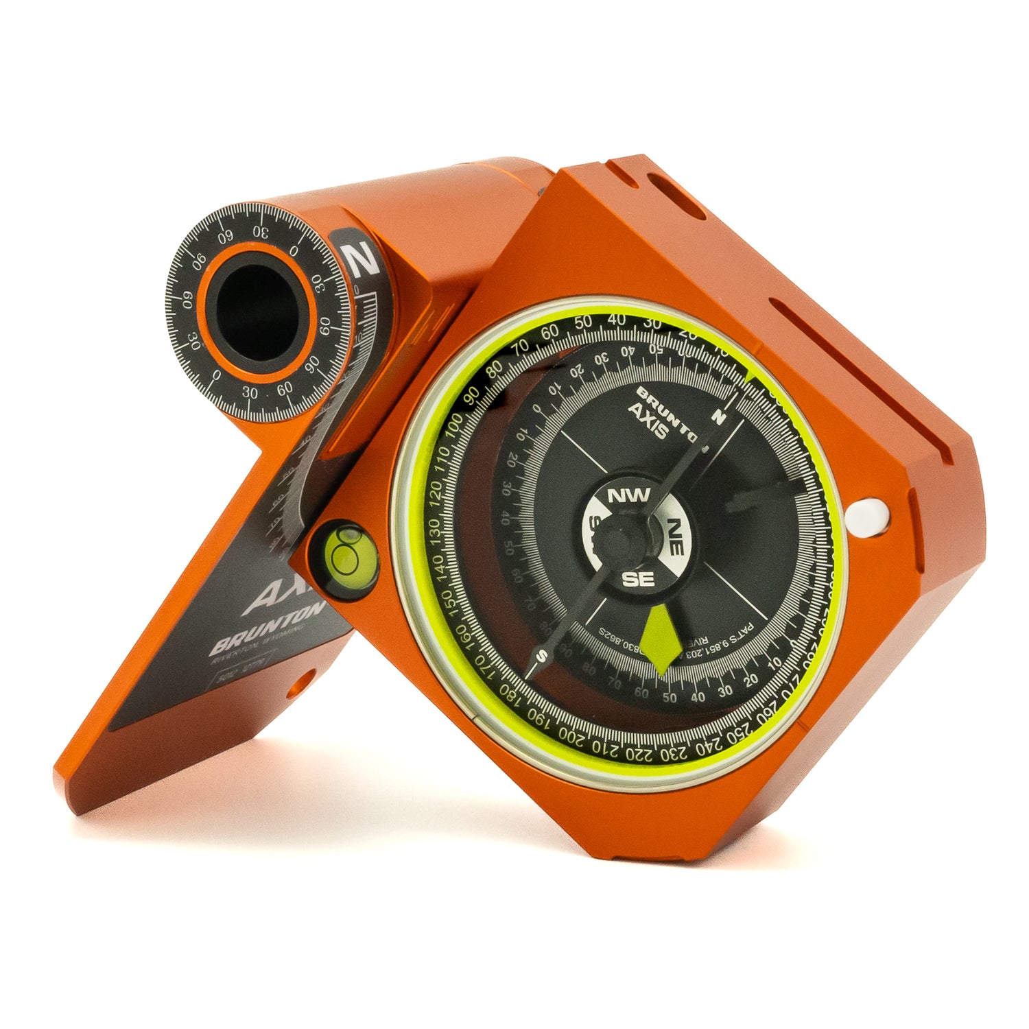
Our Navigator Bundle features our best-selling TruArc 15 mirrored baseplate compass paired with our popular Quick-Reference Card Set full of handy reference tools, reminders, and tips for map and compass navigation and outdoor safety.

For individual product details, visit these pages:

 TruArc 15 Compass

Quick Reference Card Set

The TruArc15 lid can be custom pad printed - contact Brunton for details.

View full details

Details for Navigator Bundle

FEATURES

TRUARC15 COMPASS
• TruArc™ Global Needle tilts up to 20˚ for balanced use worldwide.

• Tool-free declination adjustment is simple and fast to orient magnetic north to true north.

• Meridian lines on vial assist during pre-trip planning when aligning with map grid lines.

• Inch/centimeter rulers (global) or metric scales (metric only) for accurate and effective map work.

• Brunton EverNorth Magnet resists demagnetization over time.

• Magnified readout provides highest degree of accuracy without compromising readability.

• Dual azimuth ring includes reverse azimuth.

• Sighting mirror and sighting line integrated into the cover. Align for the most accurate bearings, whether taking or following a bearing.

• Clinometer with 2˚ resolution for measuring slope angle or gauging heights of passes, peaks or trees.

• Engineer’s ruler.

• Bubble level for absolute precision readings; keeping the compass level (not the needle level) is a critical aspect for taking an accurate bearings.

• Map magnifier helps with the smaller details on any map.

• High visibility cling for enhanced performance in low light; can be removed to facilitate map use.

• 1˚ resolution azimuth ring provides precise readings.

• FSC-certified and recyclable packaging

• Made in the USA in Riverton, Wyoming.


QUICK REFERENCE CARDS
• Waterproof, durable, and lightweight cards can handle exposure to any type of weather.

Reference cards include:
• Map Slope Indicator Scale (works with both metric and standard map scales)
• How to Orient a map to true north
• Taking a map bearing
• Sighting a field bearing
• Travel a compass bearing
• Triangulating a location
• How to use Romer Scales
• Suggestions when you are lost
• Water tips
• Common knots
• Calculating hike times
• Metric and Standard Topo Buddy scale cards

TECH SPECS

TESTIMONIALS