Whenever you head into the country, it's important to know the basics of navigation, and that includes how to read a topographic map.
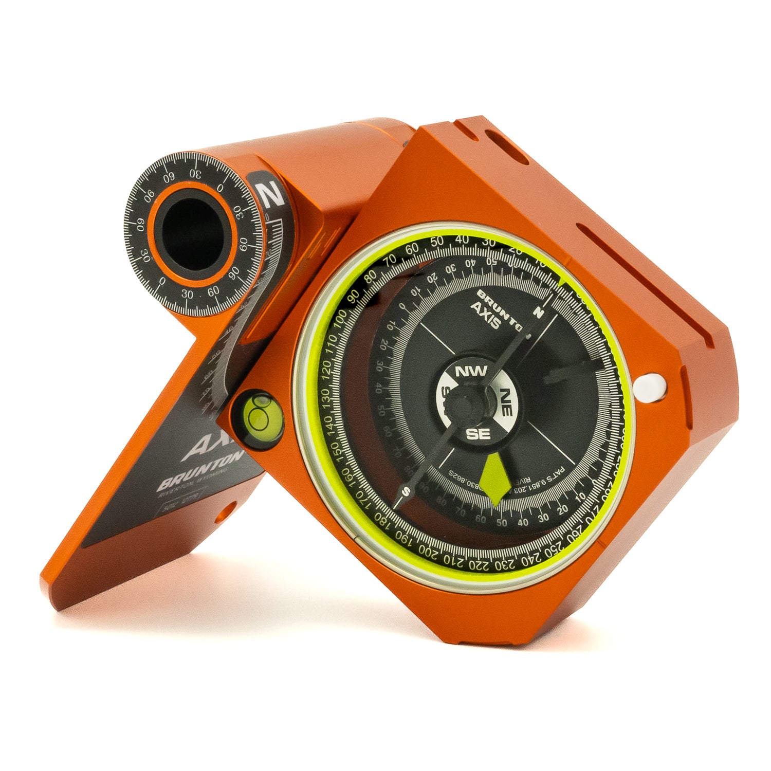
Using a navigational compass is a big par of navigation, but a compass alone won’t get you out of a backcountry bind. That’s why hikers and backpackers should pack a map with their compass, so that they can orient themselves in the event they get turned around in the wilderness.
While typical maps of an area can suffice for your navigation needs, opting for a topographic map will give you a better idea of what the terrain is like in your area. Having the ability to read the terrain, will help you decipher which way you might want to hike to get to your destination.
Topographic maps help you visualize the given area and the terrain from a flat piece of paper using lines. When you use a topographic map, you read it differently than you would an average map with the use of contour lines and understanding scale. While it might seem strange at first, knowing how to read a topographic map can get you out of a serious situation in the backcountry.
This short video by REI gives an in-depth lesson on how to read a topographic map; using visuals that will help you in the backcountry.
How to Read a Topographic Map


