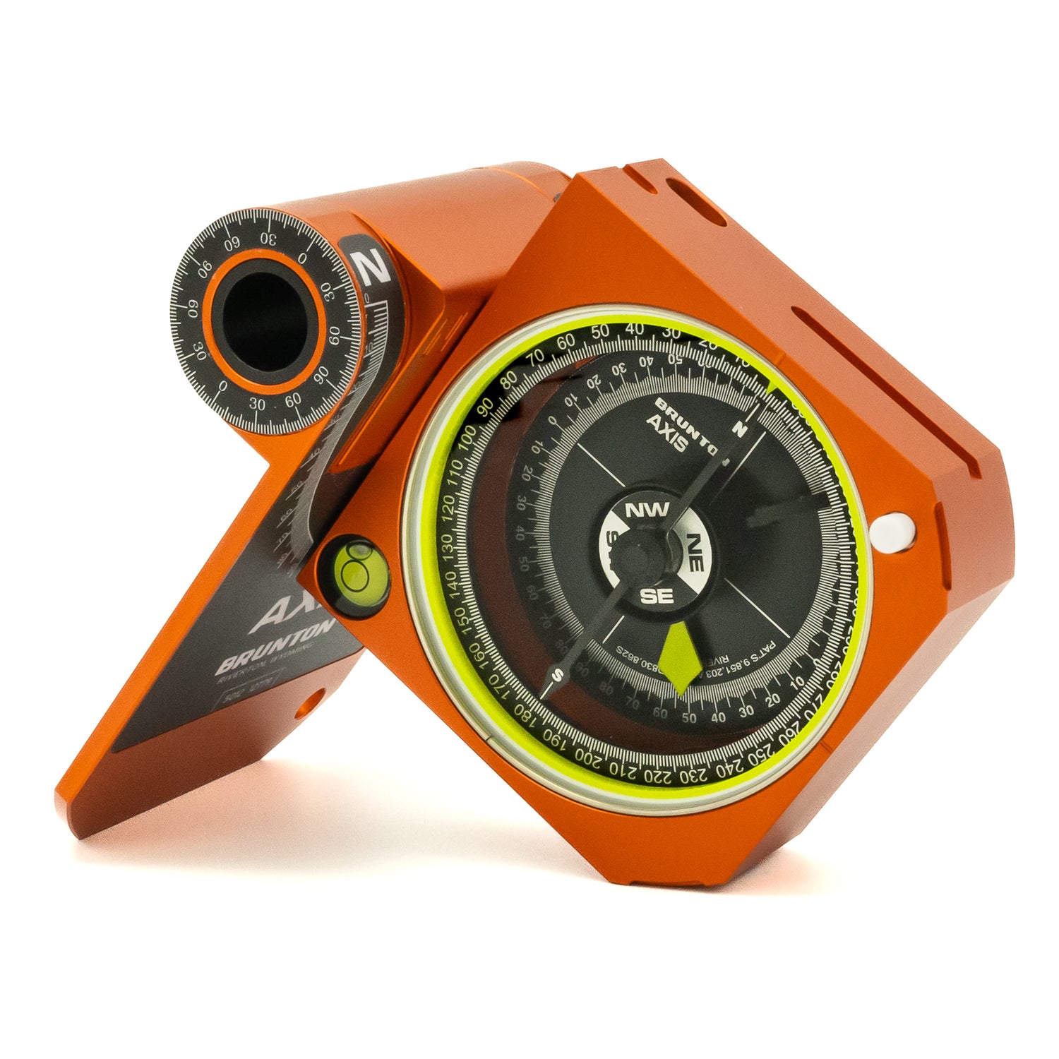


The Continental Divide Trail is a long and grueling undertaking, and one that requires a navigational compass to help guide your way.
The Continental Divide Trail (CDT) is one of the big three long distance hikes in the United States. The other two thru-hikes, Appalachian Trail (AT) and Pacific Crest Trail (PCT), are more well known than their elusive and notoriously difficult trail triplet. Famous memoirs have been written about the conquering the AT and PCT, while the CDT remains a trail less traveled.
The CDT clocks in at 3,100 miles and spans from the Mexico-New Mexico border to the Montana-Canada border. It follows the Continental Divide of the U.S.—hence the name— as you hike along the Rocky Mountains through New Mexico, Colorado, Wyoming, and Montana. The highest point along the trail is Grays Peak, in Colorado, which is one of the state’s many 14ers. But plenty of other high peaks line the trail and guarantee elevation gain. With about only 200 people per year embarking on the CDT, the six month feat is not for the faint of heart.
Hike the Continental Divide with Your Navigational Compass in Hand
“The CDT is a different beast,” triple crown hiker Corey McPherson told The Dyrt in a Brunton sponsored post. “But with extreme difficulty comes extreme rewards on the CDT.”
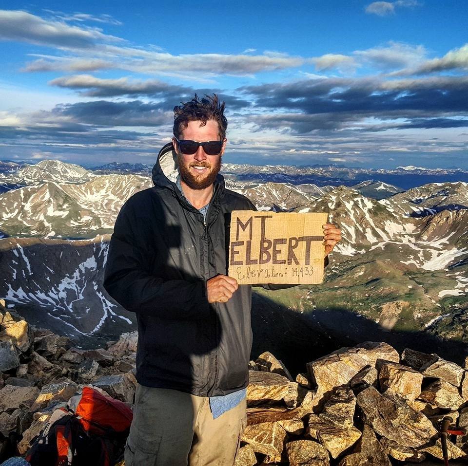
Photo courtesy of Corey McPherson.
To become a triple crown hiker, you must hike the AT, PCT, and CDT. McPherson decided to hike the CDT last in the list of the big three thru-hikes. He remarked it as the the more challenging experiences given the elevation and rugged terrain.
What to Pack for the CDT
For approximately six months, hikers are dependent on only what they pack in their backpack, and resupply boxes at given checkpoints. Your pack, shelter, and sleeping bag are some of the most essential items to bring, however you also need a reliable water filter to use throughout your journey.
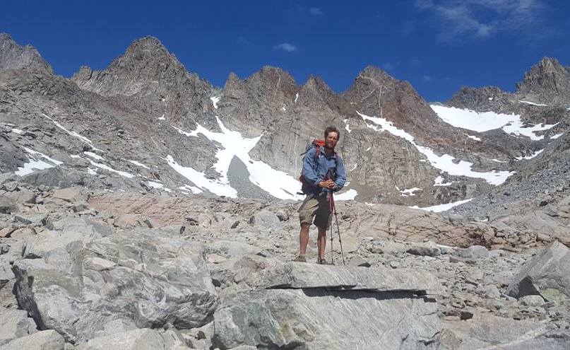
Photo courtesy of Corey McPherson.
Navigation is also of the utmost importance on the CDT. While an established trail, the CDT is not well marked for some stretches, and it can become easy to lose your way. McPherson experienced this while thru-hiking the CDT.
McPherson’s phone and external battery died while he was hiking a stretch of the CDT. But luckily, he packed a map and compass, “I had to navigate about 70 miles of cross country travel, with hardly any trail markings and with map and compass. Word of advice: No matter how easy a section of trail is, always carry a map of the area and a compass, and know how to use them—don’t always count on your electronics working.”
The Biggest Lessons on the Trail
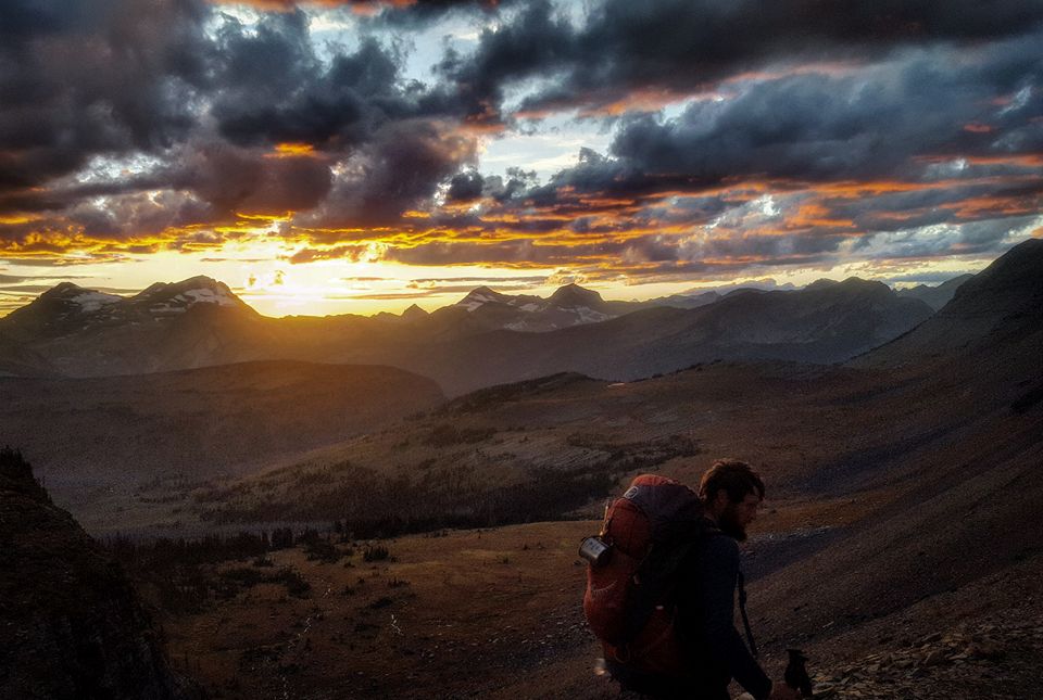
Photo courtesy of Corey McPherson.
While carrying a map and compass might be a big lesson on the trail, it’s not the biggest, at least not according to McPherson. McPherson is a firm believer in carving out your own journey on the CDT.
“While on the trail, there are no wrong decisions. Trust me, don’t get caught up on whether taking an alternate route is a good idea or not. The trail always has a way of working itself out, and you usually end up having made the right decision. Somehow even the ‘wrong’ decisions end up being the best thing.”
The CDT is a six month hike full of hardship, fatigue, adventure, and the most beautiful mountaintop views. It’s a great opportunity to finesse your navigational compass skills, explore the Rocky Mountain West, and hike your own hike.